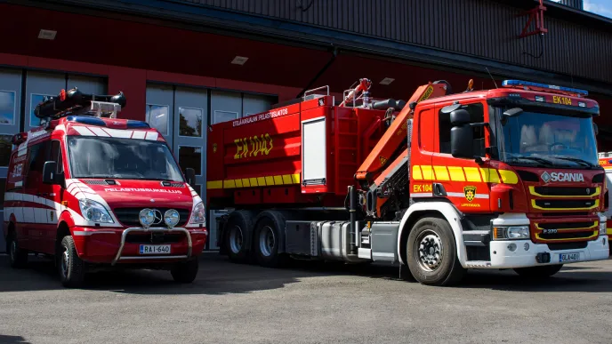
LUT Business School has put together a service modelling and training package that can improve the response efficiency of rescue departments. The training includes a QGIS introduction course and artificial intelligence-based modelling of the rescue service network.
QGIS stands for quantum geographic information system, and it’s a software tool that can analyse geographic data and present the results in different forms, such as maps. Service network modelling refers to the planning and testing of service department locations and functions through geographic data analysis.
The training package has been sold to the rescue departments of the regions of South Savo and South Karelia.
Jani Kanerva, rescue service manager at the Rescue Department of South Karelia, says the training aims to transfer LUT’s expertise to service provision by the rescue department. One of the objectives is to improve rescue specialists’ skills in processing geographic data and producing services.
“Participants were introduced to the QGIS application, and the course included practical exercises, such as response readiness simulations and risk management data visualisation with tools like maps. The training increases information management efficiency and helps improve the performance of rescue services,” says Heidi Huuskonen, development manager at the South Karelia rescue department.
The training is designed to be flexible and can be tailored to needs.
“At this point, we trained certain key people in the use of the application, and we can extend the training as needed,” Huuskonen says.

LUT's analysis environment less costly than commercial versions
What's special about LUT's training package is that it’s based 100 per cent on open-source software and freely available geographic data servers.
“The modelling is based on a process I’ve developed by utilizing open, free-of-charge data. The process enables calculating accessibility scenarios of a network flexibly throughout Finland based on readily available data,” says Mika Immonen, associate professor at LUT Business School.
Accessibility scenarios help determine how easily rescue services could reach different geographic areas.
“Compared to commercial geographic data interfaces, the advantage of LUT’s analysis environment is its significantly higher speed and the possibility for testing without data usage costs. Usage costs can rise surprisingly high when you process big data or AI models through commercial cloud services,” Immonen points out.
Cooperation improves rescue service performance
The results of cooperation between LUT and the rescue department can already be seen in daily life. The development work has led to research-based solutions that improve the safety of older adults in home care (KATI programme) and the efficiency of safety assessments of care facilities.
Artificial intelligence applications have so far focused on data analytics, and the outcomes have been promising.
“Collaboration with LUT helps the rescue department to take advantage of modern technologies, such as open access data and open-source software. Operations become more efficient, and LUT's methods are more cost-efficient than conventional commercial solutions,” Heidi Huuskonen analyses.
Huuskonen says the rescue department considers collaboration with LUT highly significant.
“It helps improve the performance and anticipation of rescue services and the quality and impact of risk management. We need more research-based data on ways for rescue services to apply AI safely. I hope LUT will be a trailblazer in this area.”
Photo: Rescue Department of South Karelia
More information:


